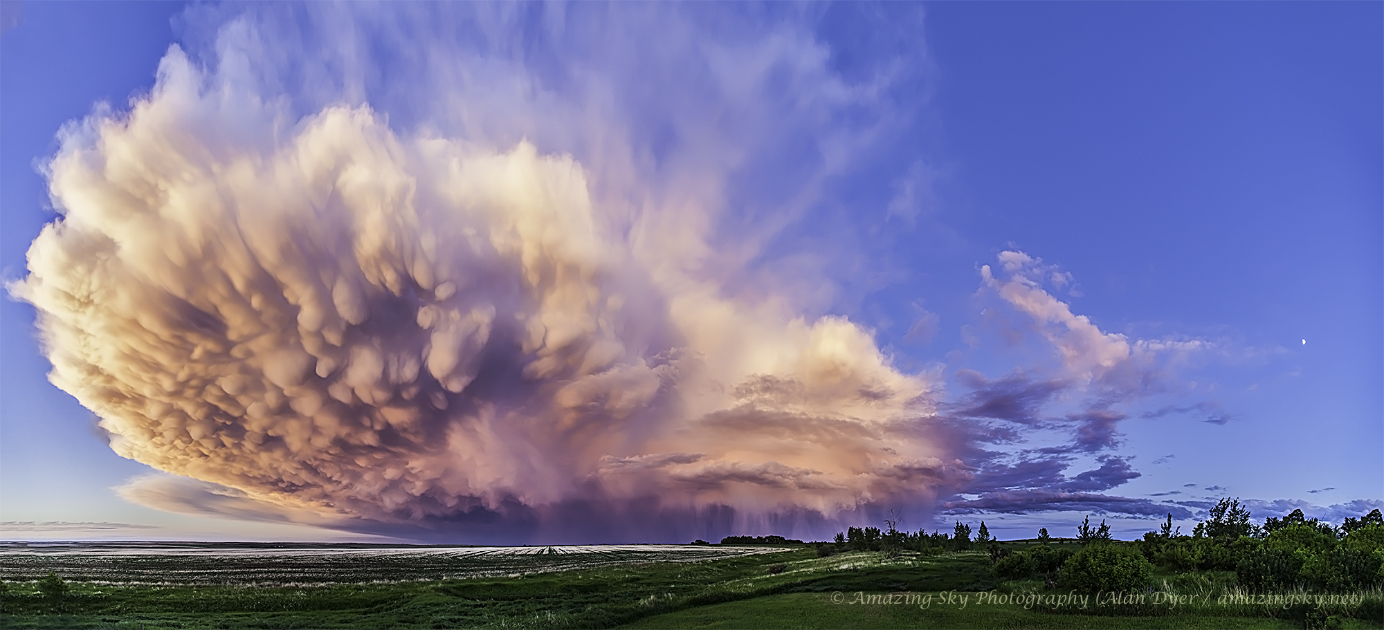
What type of cloud is that? This retreating cumulonimbus cloud, more commonly called a thundercloud, is somewhat unusual as it contains the unusual bumpiness of a mammatus cloud on the near end, while simultaneously producing falling rain on the far end. Taken in mid-2013 in southern Alberta, Canada, the cloud is moving to the east, into the distance, as the sun sets in the west, behind the camera. In the featured image, graphic sunset colors cross the sky to give the already photogenic cloud striking orange and pink hues. A darkening blue sky covers the background. Further in the distance, a rising, waxing, gibbous moon is visible on the far right.
¿Qué tipo de nube es esa? Esta nube cumulonimbos retrocedente, más comúnmente llamada nube de tormenta, es algo inusual ya que contiene la irregularidad característica de una nube mammatus en el extremo cercano, mientras que simultáneamente produce lluvia en el extremo lejano. Tomada a mediados de 2013 en el sur de Alberta, Canadá, la nube se mueve hacia el este, hacia el horizonte, mientras el sol se pone hacia el oeste, detrás de la cámara. En la imagen destacada, colores gráficos del atardecer cruzan el cielo para dar a la ya fotogénica nube tonos naranja y rosa llamativos. Un cielo oscuro de color azul cubre el fondo. Más allá, a la derecha lejana, es visible una luna creciente en aumento.